 |
243-20. A dumping ground at Emek Zahar marsh north from Mount Sdom. The Middle East, December 27, 2001Similar picturesLarge thumbnails | Use small thumbnails | View as slideshow |
|
243-20. A dumping ground at Emek Zahar marsh north from Mount Sdom. The Middle East, December 27, 2001Similar picturesLarge thumbnails | Use small thumbnails | View as slideshow |
 Salt marsh with tamarisk at Emek Zahar north from Mount Sdom. The Middle East, December 27, 2001  View from a lookout of Mount Sdom to the north. The Middle East, December 27, 2001  View from a lookout of Mount Sdom to the north. The Middle East, December 27, 2001  View from a trail on Mount Sdom to the north. The Middle East, December 27, 2001  View of Dead Sea from a lookout of Mount Sdom to the north. The Middle East, December 27, 2001  Salt rock layer of Mount Sdom, from north-west side. The Middle East, December 27, 2001  View from a lookout of Mount Sdom to the south. The Middle East, December 27, 2001  Bee s nest on a roadside west from Mount Sdom. The Middle East, December 27, 2001 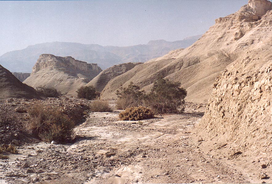 Wadi of Nahal Pratzim, west from Mount Sdom. The Middle East, December 27, 2001  View from a lookout of Mount Sdom to the south-west. The Middle East, December 27, 2001  View of Dead Sea from a lookout of Mount Sdom to the south-west. The Middle East, December 27, 2001  Chalky wadi of Nahal Pratzim, west from Mount Sdom. The Middle East, December 27, 2001  Chalky plateau of Mishor Amiaz, west from Mount Sdom, near Flour Cave. The Middle East, December 27, 2001  Chalky wadi of Nahal Pratzim, west from Mount Sdom, near Flour Cave. The Middle East, December 27, 2001  View of Dead Sea and misty Moav Mountains from a lookout of Mount Sdom to the west. The Middle East, December 27, 2001  Morning view to south-east from Mount Yehoram, 3.5 miles north-west from Eilat. Mount Shelomo is on the background. The Middle East, November 4, 2001  Western slopes of Mount Shahmon, 2 miles north-west from Eilat. The Middle East, December 13, 2001  View to the north from Mount Yehoram, 3.5 miles north-west from Eilat. Mount Shehoret is on horizon. The Middle East, November 4, 2001  View of valley of Nahal Roded creek and Mount Shehoret to the north from Mount Yehoram, 3.5 miles north-west from Eilat. The Middle East, November 4, 2001  Ramon Crater east from Mitzpe Ramon, view of Mount Ardom to the north from picnic place at Ardon Creek. The Middle East, December 19, 2001  Ramon Crater east from Mitzpe Ramon, view of Mount Ardom to the north from picnic place at Ardon Creek. The Middle East, December 19, 2001  Netafim Creek west from Mount Shahmon, 2 miles north-west from Eilat. The Middle East, December 13, 2001  Netafim Creek west from Mount Shahmon, 2 miles north-west from Eilat. The Middle East, December 13, 2001  Netafim Creek west from Mount Shahmon, 2 miles north-west from Eilat. The Middle East, December 13, 2001  View of Roded Valley with Mount Shehoret to the left from Byzantine (?) quarries of Boded (Lost) City, 4 miles north-west from Eilat. The Middle East, December 13, 2001  View to north-east from Mount Shelomo, 2.5 miles north-west from Eilat. The Middle East, November 4, 2001  View to north-east from Mount Shelomo, 3 miles north-west from Eilat. The Middle East, March 22, 2001  View to north-east from Mount Shelomo, 2.5 miles north-west from Eilat. The Middle East, November 4, 2001  Eilat hotels at Red Sea, view from Mount Shahmon at evening. The Middle East, December 13, 2001  View to the east from Mount Shelomo, 2.5 miles north-west from Eilat. The Middle East, November 4, 2001  Akaba at Red Sea and Edom Mountains, view from Mount Shahmon at evening. The Middle East, December 13, 2001  A trail going north from Mount Tzefahot, near Coral Beach 3 miles south-east from Eilat. The Middle East, January 13, 2001  View to the north from Mount Tzefahot, near Coral Beach 3 miles south-east from Eilat. The Middle East, January 13, 2001  Eilat hotels at Red Sea behind volcanic mountains, view from Mount Shahmon at evening. The Middle East, December 13, 2001  Ramon Crater east from Mitzpe Ramon, view from a jeep road, near Mount Gevanim(?). The Middle East, December 19, 2001  Ramon Crater east from Mitzpe Ramon, with Road 40 to Eilat, and Mount Ardon in background. The Middle East, December 19, 2001  An acacia tree where Mapalim Creek joins Netafim Creek, at the head of Trail of Falls to Mount Shelomo, 2.5 miles north-west from Eilat. The Middle East, December 13, 2001  View of Mount Zion, and south-eastern corner of City Wall from Mount of Olives. Jerusalem, the Middle East, July 12, 2001  View of Mount Zion, and south-eastern corner of City Wall from Mount of Olives. Jerusalem, the Middle East, July 12, 2001  View to the north from the ridge north from Mount Shelomo, 3 miles north-west from Eilat. The Middle East, November 4, 2001  A.S. on Mount Yehoram, 3.5 miles north-west from Eilat. The Middle East, November 4, 2001  Mountains north from Mount Shelomo, 3 miles north-west from Eilat. The Middle East, March 22, 2001  Cliffs north from Mount Yehoram, 3.5 miles north-west from Eilat. The Middle East, November 4, 2001  View to the north from Mount Yehoram, 3.5 miles north-west from Eilat. The Middle East, November 4, 2001  A hill north from Mount Shelomo, 3 miles north-west from Eilat. The Middle East, November 4, 2001  Abandoned fort on Mount Bental near a border with Syria, with melting snow on Mount Hermon on background. Golan Heights, the Middle East, April 7, 2001  Mapalim creek to the north from Mount Shelomo, 2.5 miles north-west from Eilat. The Middle East, November 4, 2001  Ponds in Arava Valley in eastern Eilat and Edom Mountains, view from Mount Shahmon at evening. The Middle East, December 13, 2001  Ponds in Arava Valley in eastern Eilat and Edom Mountains, view from Mount Shahmon at evening. The Middle East, December 13, 2001  View of Masada hill north from Mount Eliazar, near the Dead Sea. The Middle East, November 8, 2001  View of Masada hill north from Mount Eliazar, near the Dead Sea. The Middle East, November 8, 2001  Slopes of Mount Shelomo, 2.5 miles north-west from Eilat. The Middle East, November 4, 2001  Upper Nahal Mapalim creek north from Mount Shelomo, 3 miles north-west from Eilat. The Middle East, March 22, 2001  A road on the ridge going down from Mount Yehoram, 3 miles north-west from Eilat. The Middle East, November 4, 2001  View to the south from Mount Yehoram, 3.5 miles north-west from Eilat. The Middle East, November 4, 2001  View from a trail going from Mount Shelomo, 3 miles north-west from Eilat. The Middle East, March 22, 2001  View of Masada hill north from Mount Eliazar, near the Dead Sea (bright sun). The Middle East, November 8, 2001  Northern peak of Mount Shelomo, 2.5 miles north-west from Eilat. The Middle East, November 4, 2001  View of Masada hill north from Mount Eliazar, near the Dead Sea (sun in clouds). The Middle East, November 8, 2001  View from a trail from Mount Shelomo, 3 miles north-west from Eilat. The Middle East, March 22, 2001  Eilat and Aqaba, view to south-east from Mount Shelomo, 3 miles north-west from Eilat. The Middle East, March 22, 2001  A saddle and a trail to the main summit of Mount Shelomo (view from north), 3 miles north-west from Eilat. The Middle East, March 22, 2001  Start of Nahal Mapalim creek with a trail going north from Mount Shelomo, 3 miles north-west from Eilat. The Middle East, March 22, 2001  Approaching Mount Shelomo from the northern ridge, 3 miles north-west from Eilat. The Middle East, November 4, 2001  Snake path to Masada hill, view to the north from Mount Eliazar, near the Dead Sea. The Middle East, November 8, 2001  Approaching Mount Shelomo from the northern ridge, 3 miles north-west from Eilat. The Middle East, November 4, 2001  Wadi in the area of Nahal Tseelim, view to the north from Mount Eliazar, near the Dead Sea. The Middle East, November 8, 2001  Ramon Crater east from Mitzpe Ramon, a picnic at Ardon Creek, with Mount Ardon at background. The Middle East, December 19, 2001  David Creek and Dead Sea shores around Ein Gedi, view to the north from Mount Yishai lookout. The Middle East, November 15, 2001  A cable car along the Snake path to Masada hill, view to the north from Mount Eliazar, near the Dead Sea. The Middle East, November 8, 2001  Mountain ridges and the northern summit of Mount Shelomo, 3 miles north-west from Eilat. The Middle East, March 22, 2001  A road to Mount Shelomo, view from northern hills, 3 miles north-west from Eilat. The Middle East, March 22, 2001  The tallest northern summit of Mount Shelomo, 2.5 miles north-west from Eilat. The Middle East, November 4, 2001 [Misplaced, should be no. 28]  Roded creek at evening 3 miles north-west from Eilat. Mount Shehoret is on background. The Middle East, November 3, 2001  A trail going east from Mount Tzefahot to Field Study School, near Coral Beach 3 miles south-east from Eilat. The Middle East, January 13, 2001  View of Arava Valley south-east from Mount Shehoret, north from Eilat. The Middle East, December 9, 2002  View of a parking and Mount Shlomo south-east from Mount Yoash, 4 miles north-west from Eilat. The Middle East, January 17, 2002  Masada marls, view to the east from Mount Eliazar, near the Dead Sea. The Middle East, November 8, 2001  A ridge 0.5 miles north from Mount Shelomo, 3 miles north-west from Eilat. The Middle East, November 4, 2001  View to north-west from Mount Yehoram, 3.5 miles north-west from Eilat. The Middle East, November 4, 2001  View to north-west from a trail to Mount Shelomo, 3 miles north-west from Eilat. The Middle East, March 22, 2001  Imperfect version of Solomon Pillars, view from a trail going from Mount Shelomo, 2.5 miles north-west from Eilat. The Middle East, March 22, 2001  Wild onion flowers in Negev Desert in Mount Karkor area, 3 miles north from Beer-Sheva. The Middle East, January 27, 2001  Masada marls (powdery chalk wadi), view to the east from Mount Eliazar, near the Dead Sea. The Middle East, November 8, 2001  Masada marls (powdery chalk wadi), view to the east from Mount Eliazar, near the Dead Sea. The Middle East, November 8, 2001  A trail going west near Mount Tzefahot, near Coral Beach 3 miles south-east from Eilat. The Middle East, January 13, 2001  A trail going west(?) near Mount Tzefahot, near Coral Beach 3 miles south-east from Eilat. The Middle East, January 13, 2001  A river going west near Mount Tzefahot, near Coral Beach 3 miles south-east from Eilat. The Middle East, January 13, 2001  View of Timna Stream and Mount Mikhrot to the north from Timna Park gate. The Middle East, March 15, 2001  View to the north from Mount Shehoret, north from Eilat. The Middle East, December 9, 2002  View to the west (Egypt) from Mount Tzefahot, near Coral Beach 3 miles south-east from Eilat. The Middle East, January 13, 2001  View of northern Eilat and Aqaba from Mount Shelomo, 3 miles north-west from Eilat. The Middle East, March 22, 2001  View of Eilat Mountains from a trail going from Mount Shelomo, 3 miles north-west from Eilat. The Middle East, March 22, 2001  View of Eilat Mountains from a trail going from Mount Shelomo, 3 miles north-west from Eilat. The Middle East, March 22, 2001  View of Timna Stream and Mount Mikhrot to the north from Timna Park gate, zoomed. The Middle East, March 15, 2001  View of mountains and Red Sea south from Eilat from Mount Shelomo, 3 miles north-west from Eilat. The Middle East, March 22, 2001  Trenches on Ihoram Mt. near Ma ale Eilat Road, with Mount Shelomo on background, 3 miles north-west from Eilat. The Middle East, March 22, 2001  A short creek with a trail to Mount Shelomo from Ma ale Eilat Road, 3 miles north-west from Eilat. The Middle East, March 22, 2001  A jeep track approaching Mount Shelomo from Ma ale Eilat Road, 3 miles north-west from Eilat. The Middle East, March 22, 2001 |